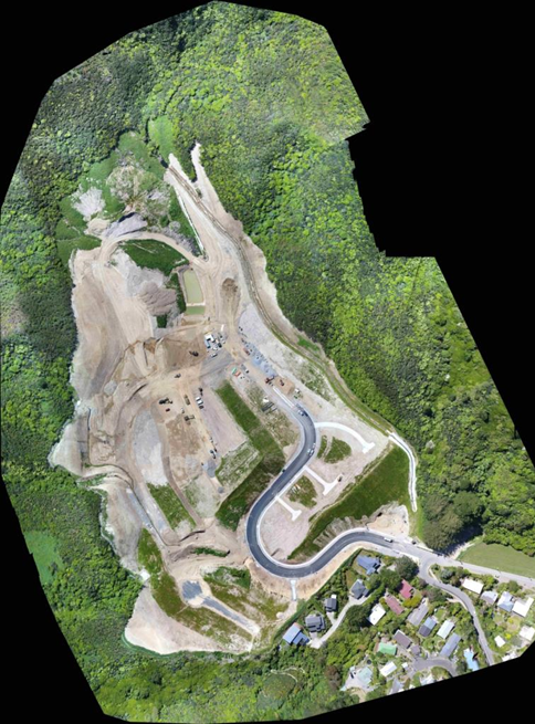
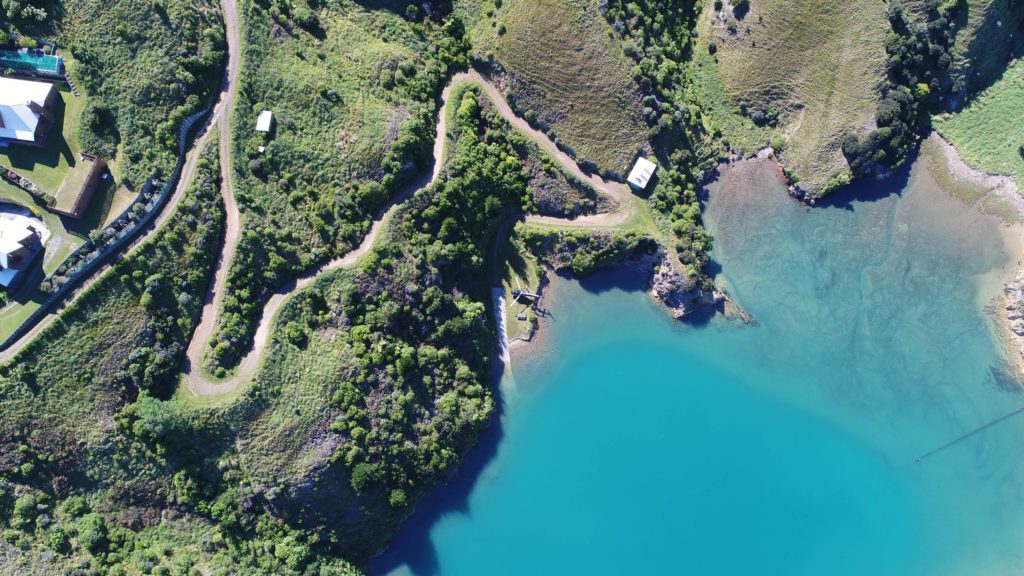
We fly UAV Drones. Spencer Holmes has extended our professional services to include unmanned aerial vehicles (UAV) surveying. UAV’s provide a cost-effective solution for surveying large areas with similar levels of accuracy as traditional surveys. UAV’s dramatically improve speed and convenience of data collection and are applicable to a variety of domestic and commercial operations:
Resource consent evidence
Topographical Surveys
As-Built Surveys
Monitoring
Volumetric Surveys
Aerial Inspections
We use survey grade GPS to accurately geo-locate aerial images and ensure high levels of accuracy.
How does the UAV Drone work?
A UAV is deployed on site. Over several minutes it will collect high resolution aerial photographs. The images are processed using advanced photogrammetric techniques to merge the site photos and produce classified point clouds, DTM, DSMs, orthophotos and more. This data can be merged with our traditional survey information, such as boundaries and underground services to create more comprehensive data models.