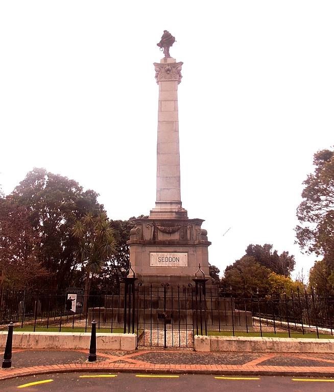
The Seddon Memorial is a largely concrete superstructure which stands approximately 18 metres above ground level. Below ground level and under the monument, is a crypt constructed of concrete walls with a concrete roof. Construction of the crypt began in 1906 and the monument was constructed from 1908-1910.
The memorial has a long list of inspection and repair history, predominantly centred around water ingress and corrosion. After the 2016 Kaikoura Earthquake, Spencer Holmes were engaged by Manatū Taonga Ministry for Culture and Heritage to undertake a Detailed Seismic Assessment (DSA) of the Seddon Memorial. The DSA determined the structure to be Earthquake Prone and classified the Seismic Risk Grade as “Very High”.
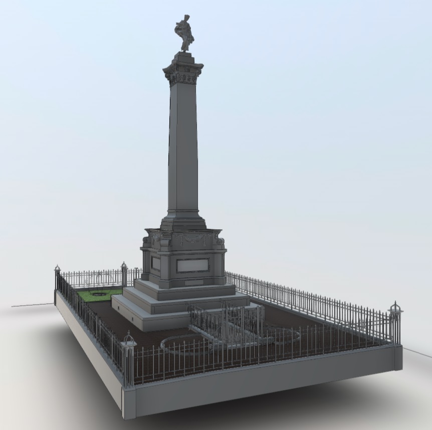
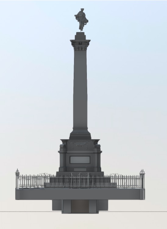
A 3D laser scan survey was undertaken by Spencer Holmes which mapped the exterior of the monument and the interior of the tomb. The laser scanner collected approximately two million points per second as a resolution of 3 millimetres over 10 metres, as well as high-dynamic range imagery from each scan location. The colours from the imagery were accurately mapped onto the scan data, resulting in a fully colourised georeferenced point cloud dataset.
A coordinated 3D model was generated from the registered point cloud which our structural engineers could use to model geometry, vertical alignment, and orientation including verification of the crypt position and interior dimensions relative to the monument tower above. This model formed the basis of the detailed seismic strengthening design drawings used during construction of the remedial works.
Construction is now complete with the Seddon Memorial now Seismic Strengthened to IL2. The collective skillset across various consultants from Spencer Holmes combined with highly accurate spatial data ensured the outcomes required by our client were satisfactorily achieved.
 Cropped")